British Columbia · Natural setting
Sloquet Hot Springs
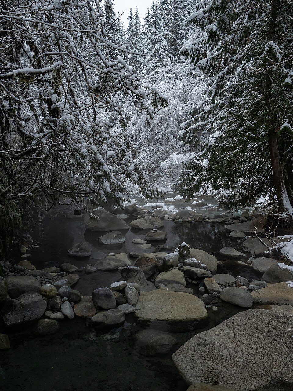
Sloquet’s thermal water flows into creekside pools in a wooded mountain valley. The springs have an enduring connection to the Xa’xtsa people, and the setting is rustic rather than serviced like a resort.
Historical source coordinate; not a trailhead. Accuracy and datum have not been independently verified. Historical water readings describe source samples, not safe soaking temperatures.
Xa'xtsa territory, and the protocols that come with it
Sloquet sits in the traditional territory of the Xa'xtsa First Nation (Douglas First Nation). Xa'xtsa members manage the site in partnership with Recreation Sites and Trails BC — this is not an unmanaged wild spring, and the stewardship is active.
The Xa'xtsa people ask that visitors always wear bathing suits in the pools and never consume alcohol while using them. Those are requests from the people who care for the site, and following them is the baseline condition of visiting.
A hot waterfall into creekside pools
The spring emerges at about 64 °C from a steep vertical bank above Sloquet Creek and falls as a small hot waterfall into two compact soaking pools. Downstream there is a larger, shallower pool that reads much like an ordinary creek bed except that it is hot.
Because the hot inflow meets cold creek water, the temperature you get depends heavily on which pool you choose and on creek levels that day. High water changes the mix considerably.
Ninety kilometres of logging road
Access from the north is via the in-SHUCK-ch Forest Service Road, which is an active logging road, and the approach involves roughly 90 km of gravel. Four-wheel drive is recommended, and it is about a two-hour drive from Pemberton once you are off pavement.
Active logging road means industrial traffic has priority and conditions change without notice. Carry a spare, fuel up before leaving pavement, and do not count on cell coverage.
Camping at the springs
There are roughly twenty basic campsites, each with a picnic table and fire ring, with pit outhouses through the camping area and bins for garbage and recycling. It is rustic rather than serviced, and most visitors stay the night rather than drive that road twice in a day.
Opening hours & season
No verified visitor timetable
Access depends on land-manager permission, closures and local conditions. No published timetable should be interpreted as 24-hour access.
All times are local to the spring. Checked 2026-10-01; this is not a live opening-status display. Closure notices override regular hours.
Our take
Appealing for the close relationship between creek, forest and warm water. The long resource-road approach and limited facilities mean it rewards preparation, not spontaneity.
Editorial assessment based on published information. No firsthand visit or customer score is implied.
Before you go
Sources & record notes
Geoscience BC’s 2016 compilation · 4 historical sampling records · Source name: Sloquet. References recorded in the dataset: N.S-B.G 1974; Souther 1976; Grasby 2000.
Source notes: 55a; 55b
Sources used for this guide
- Xa'xtsa (Douglas First Nation) — Sloquet Hot Springs
- Wikipedia — Sloquet Hot Springs
- Hot Springs of BC — Sloquet Hot Springs
Written from the published sources above. Operator hours, access rules and closures change; the official link is authoritative.